Texas holds the largest wildfire in United States history outside Alaska — 1,058,482 acres in the Panhandle in February 2024 — and publishes no statewide fire hazard severity zone map to check your address against. This page explains how wildfire risk is actually scored here, which fuel regime you are in, and what a Texas property owner has to prove that a Californian one can simply look up.
Highlighted counties have a published, data-backed page built on real Satelife reports for an address and a community inside them. Select one to open it. Satelife runs address-level reports statewide — the highlight marks where we have published the research, not where we can score.
Select a highlighted county to open its report page.
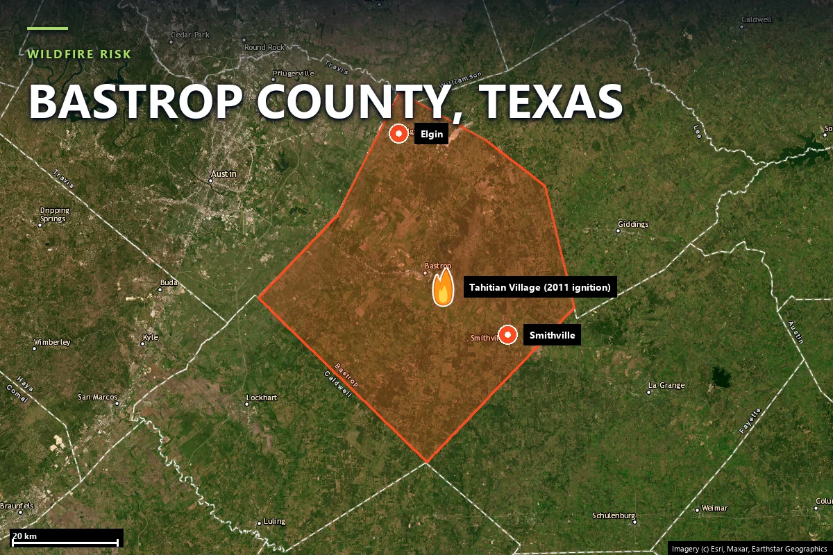
Lost Pines, the 2011 Complex Fire, Tahitian Village case study
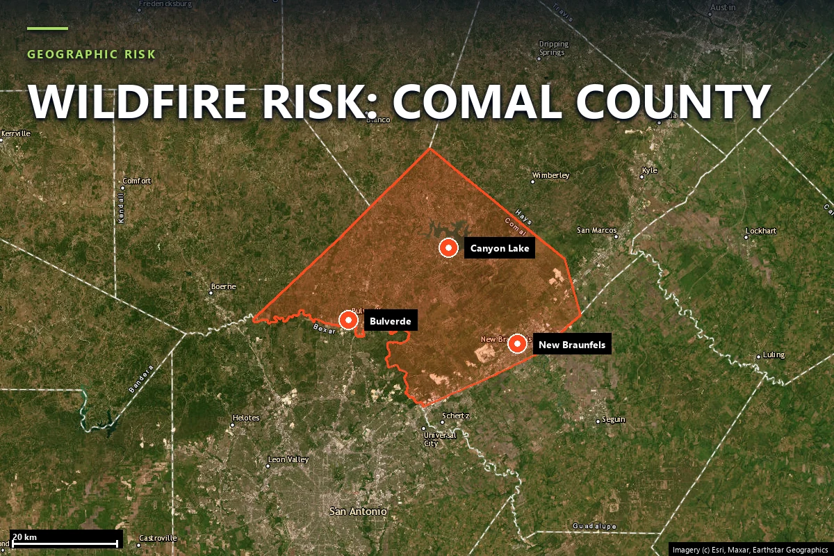
Bulverde, growth-driven readiness planning, and a low-score parcel with strong exit redundancy
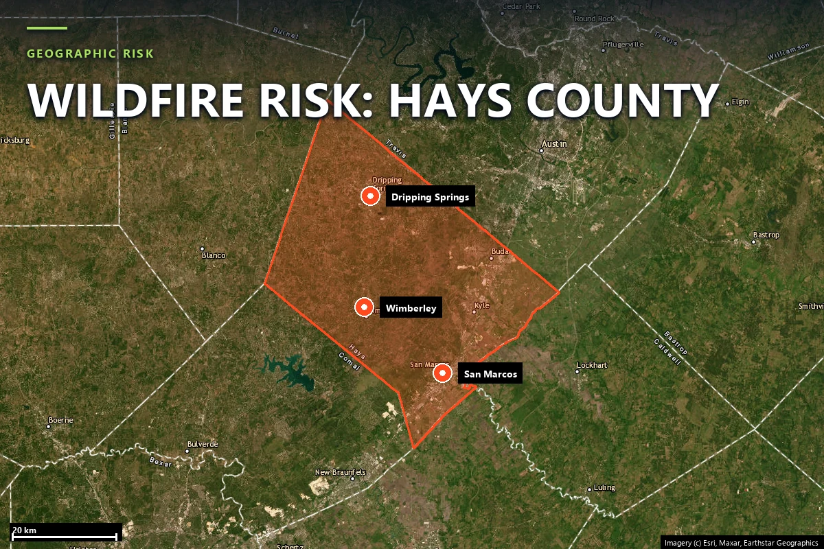
Wimberley, Oak Grove Fire context, and a Moderate parcel driven by access geometry
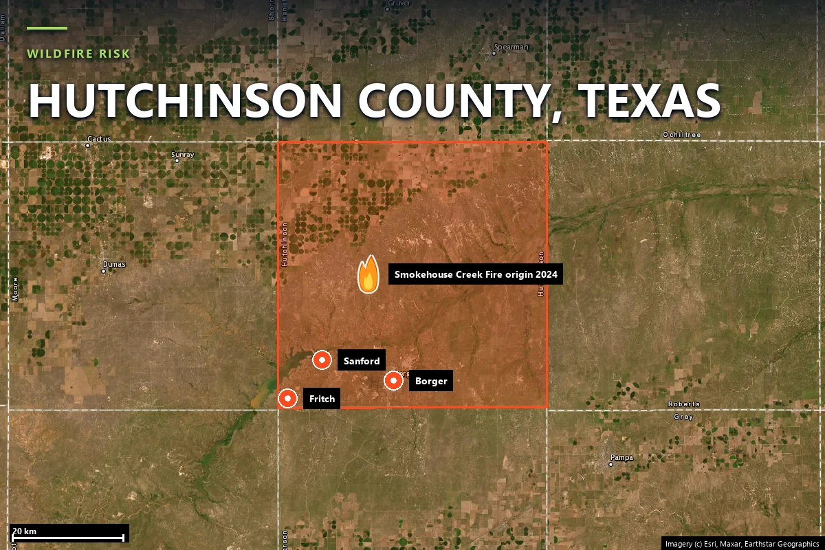
Panhandle grassland, the Smokehouse Creek origin, Fritch case study
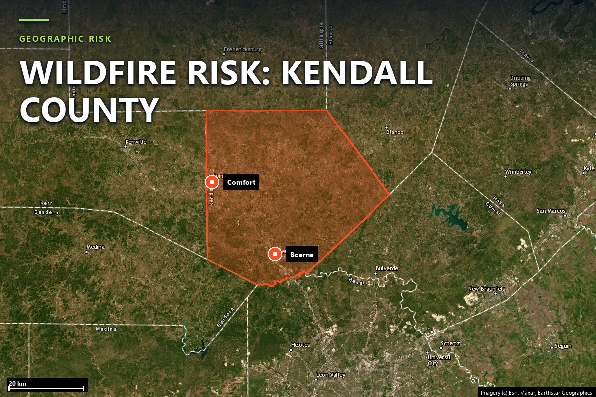
Boerne, Hill Country growth west of San Antonio, and a low-score parcel with a 15.9 m chokepoint nearby
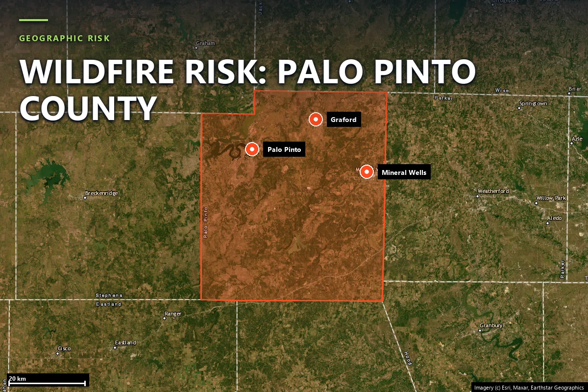
Graford, Possum Kingdom history, and a community that is tighter than its low-score parcel
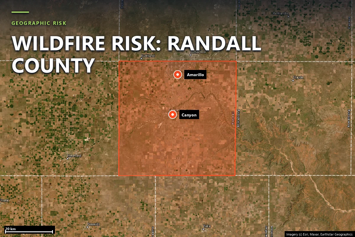
Canyon, Palo Duro edge, and a Moderate parcel built from stacked climate, terrain and vegetation pressure
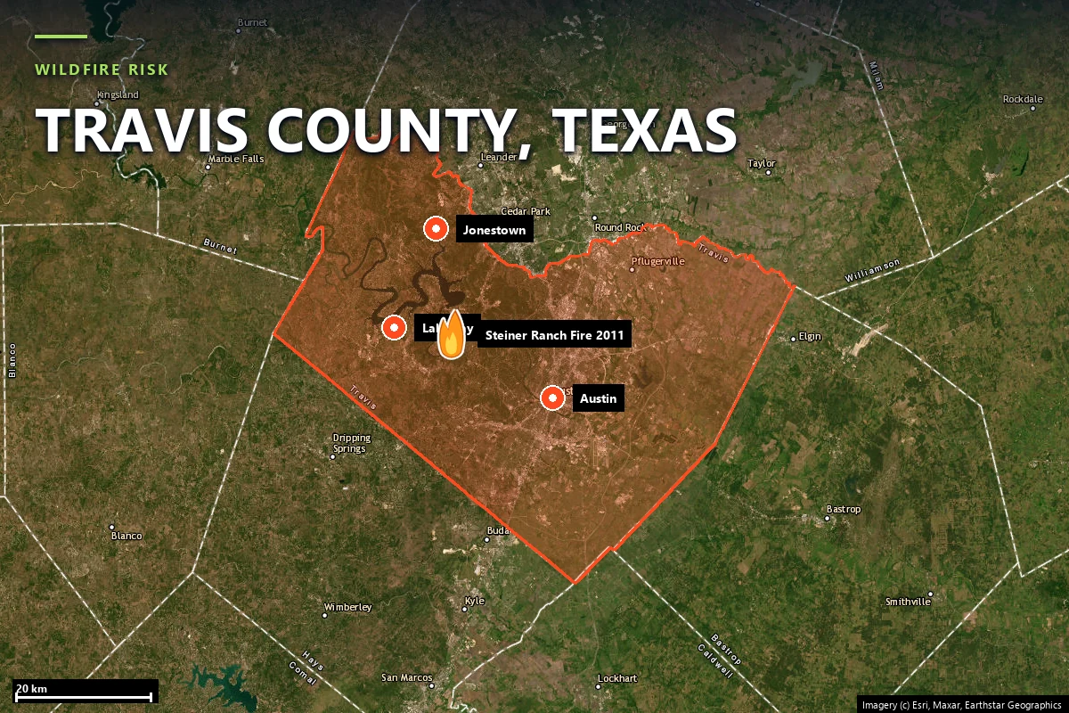
Austin’s juniper interface, the 2011 Steiner Ranch fire, Lakeway case study
Texas holds both the largest and the most destructive wildfire records in the United States outside California. The Smokehouse Creek Fire, ignited by a broken utility pole in Hutchinson County on 26 February 2024, burned 1,058,482 acres — the largest wildfire in Texas history, with two fatalities and roughly $1 billion in damage. Thirteen years earlier the Bastrop County Complex destroyed 1,696 structures over 55 days, killed two people and caused about $350 million in insured losses: still the costliest wildfire the state has recorded.
Those two events are 500 miles apart and share almost nothing operationally. One was a million acres of cured Panhandle grass moving in front of a February storm system. The other was 34,000 acres of loblolly pine in September, in a subdivision. Texas does not have a fire season so much as three of them, in three different fuel types, peaking at different times of year.
The state's wildfire agency is the Texas A&M Forest Service, which runs suppression coordination, the Texas Wildfire Protection Plan and the state's Firewise USA and community wildfire protection programs.
Sources: Texas A&M Forest Service · InciWeb incident records · NIFC / WFIGS fire perimeters · USDA NASS 2024 Texas Wildfires assessment.
This is the single most important structural fact about Texas wildfire risk, and it changes what a property-level report has to do. California publishes the CAL FIRE Fire Hazard Severity Zone map, which classifies land Moderate, High or Very High and drives both building code and underwriting. Texas publishes no statewide equivalent. There is no zone to look your address up in.
Satelife's reports say so explicitly on their hazard page: outside California the hazard layer is backfilled from the U.S. Forest Service Wildfire Risk to Communities model. That layer carries the heaviest weight in the composite — 30% — so in Texas the number with the most influence over a headline score is a modelled fire-likelihood estimate rather than a regulatory designation. It reads 16 / 100 at our Steiner Ranch parcel and 66 / 100 at our Fritch parcel.
The practical consequence: a Texas composite score is less meaningful on its own than a Californian one, and the per-layer breakdown matters more. Across the eight Texas county pages now live, several of the most useful findings sit in a layer other than the headline.
Every figure below comes from a real Satelife report run on 25 July 2026 under the United States adapter, and links to the county page that documents it. The spread is the point: one state, three fuel regimes, and several different kinds of constraint.
Panhandle grassland. Short- and mixed-grass prairie that cures within days of a dry, windy spell, so the destructive season runs late winter into spring. Fires are enormous and fast; the federal model puts the probability of flame lengths over four feet at 71.0% at our Fritch case-study parcel — the highest figure on any Satelife county page in either state.
The Lost Pines. An isolated loblolly stand around Bastrop, a hundred miles west of the East Texas pine belt, growing on deep sand — closed-canopy conifer forest with subdivisions inside it. It produced the 2011 Complex Fire and it is now fifteen years into regrowing the fuel bed that burned.
Hill Country juniper. Ashe juniper and live oak over limestone along the Balcones Escarpment, west of Austin and north of San Antonio. The fuel is discontinuous — broken by rock, rivers, lakes and development — but the housing density and road geometry make even moderate fires operationally severe, from Steiner Ranch in Travis County to Wimberley, Bulverde and Boerne.
Texas gives a homeowner fewer statutory instruments than California does. There is no mitigation-discount mandate equivalent to SB 1060, so any premium credit for defensible space or home hardening is a carrier-by-carrier underwriting decision rather than an entitlement you can invoke.
The backstop is the Texas FAIR Plan Association — the residential insurer of last resort, created by the legislature in 1995, writing since 2002 and administered under the Texas Department of Insurance. Eligibility begins only after at least two carriers actively writing residential property insurance in Texas have declined you, and ends if you hold or are offered comparable coverage. It covers fire, lightning, smoke, explosion, windstorm and hail among other perils, and like every last-resort mechanism it is narrower and dearer than what it replaces.
Because the state supplies no hazard designation and no discount mandate, dated parcel-level evidence does more work in Texas than it does in California. It is what an underwriter can actually act on.
Sources: Texas Department of Insurance · Texas FAIR Plan Association.
The Texas Property Code §5.008 Seller's Disclosure Notice asks a seller about a long list of property conditions, but it contains no wildfire hazard designation — because the state does not produce one to disclose. Texas is also a non-disclosure state for sale prices. A buyer performing wildfire diligence on a Hill Country canyon lot or a Lost Pines acre is starting from nothing that the state hands them for free.
That gap is commercially material in exactly the places where Texas WUI property is most expensive: western Travis County, the Hill Country west of San Antonio, the Bastrop pine belt. Where a Californian buyer can pull a zone designation and argue from it, a Texan buyer has to commission the evidence — which is why a parcel-level report functions here as due diligence rather than as a supplement to it.
Texas has no fire zones to be in. Unlike California, the state publishes no statewide fire hazard severity zone map, so there is no official designation for your address. Texas A&M Forest Service publishes wildfire risk and Wildland-Urban Interface data through the Texas Wildfire Risk Assessment Portal, and Satelife’s hazard layer is backfilled from the U.S. Forest Service Wildfire Risk to Communities model. For a property-level answer — terrain, fuels, fire history, evacuation geometry and an AI read of your actual parcel imagery — run an address-level report.
By fuel loading, the Panhandle and Rolling Plains counties: Hutchinson, Roberts, Hemphill and their neighbours, where the Smokehouse Creek Fire burned over a million acres in 2024 and where our Fritch case study returns a 71.0% probability of four-foot flames. By structure loss, Bastrop County holds the record. By exposed population, the Hill Country counties — Travis, Kendall, Comal, Hays and their neighbours — put the most homes into the Wildland-Urban Interface.
It depends where you are, which is unusual among US states. The Panhandle’s destructive window is late winter and early spring — the 2024 Smokehouse Creek and Windy Deuce fires were February events, and the 2014 Double Diamond Fire that destroyed 225 homes in Fritch was in May. Central and East Texas peak in late summer and early autumn during drought years; the Bastrop County Complex started on 4 September 2011.
Yes. The Texas FAIR Plan Association is the state’s residential insurer of last resort, administered under the Texas Department of Insurance, and its policies cover fire and lightning among other perils. You are eligible only after at least two insurers actively writing residential property coverage in Texas have declined you, and you are ineligible if you hold or have been offered comparable coverage. Coverage is generally narrower and more expensive than the admitted market.
Not as a hazard designation. The Texas Property Code §5.008 Seller’s Disclosure Notice covers a wide range of property conditions but contains no wildfire hazard zone item, because Texas publishes no such zoning. Buyers who want wildfire diligence in Texas have to commission it rather than look it up.
PDF + property-level risk score + mitigation action plan you can hand to your insurance agent. Address-level, not ZIP-level — which in a state with no hazard map is the only level there is.
Start with your address →