 jarvis fire
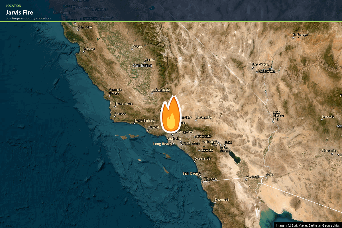
 The Jarvis Fire: 30 to 362 Acres in About an Hour, and the Third Fire Around Antelope Acres This Year
The Jarvis Fire ran from 30 to 362 acres across the western Antelope Valley in roughly an hour on 10 August 2026 — the third wind-driven grass fire around Antelope Acres since May. We map the ground, walk through the conditions behind the pattern, and score a real parcel in the same community.
 thorn fire
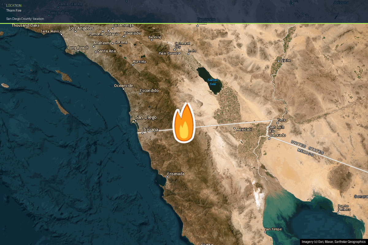
 The Thorn Fire: How 1,234 Acres Burned Past Boulevard in a Single Afternoon
The Thorn Fire jumped Interstate 8 within two hours of ignition and burned 1,234 acres near Boulevard, San Diego County. We map the real perimeter, walk through the conditions that made it possible, and show what a property-level risk report looks like for a home in the same community.
 barstow
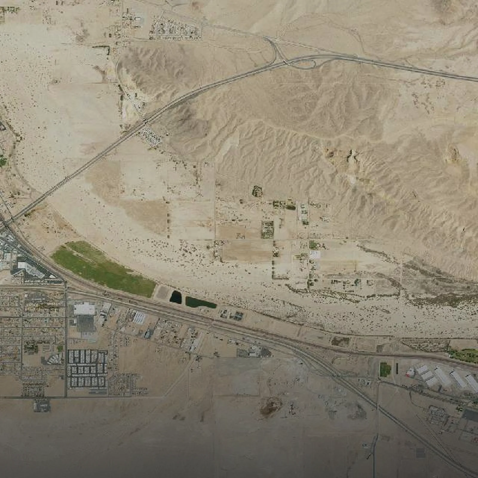
 Barstow Wildfire Risk: What the Nash Fire Reveals About Address-Level Scoring
The 2026 Nash Fire shows why a 'Very Low' hazard map isn't the whole story. See how Satelife scores Barstow wildfire risk address-by-address — fire weather, fuels, hazard zone and more.
 jurupa valley
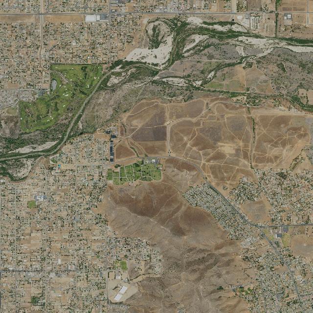
 Jurupa Valley Wildfire Risk: What the Bain Fire Reveals About Address-Level Scoring
The 2026 Bain Fire burned 1,473 acres of the Santa Ana River bottom in Jurupa Valley. See how Satelife scores wildfire risk address-by-address — hazard zone, fire history, fire weather and community preparedness.
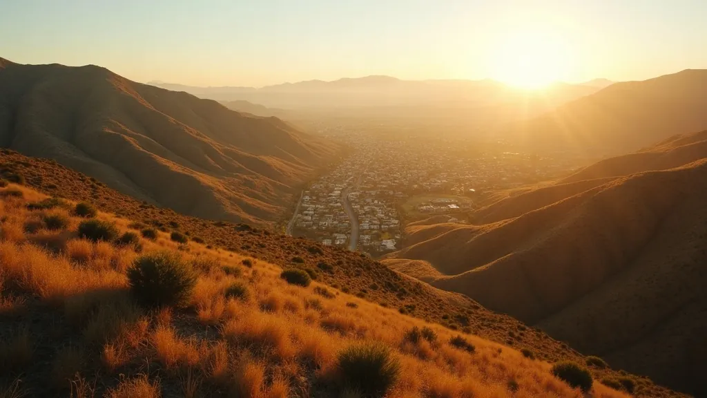 simi valley
 Simi Valley Wildfire Risk: What the Sandy Fire Reveals About Address-Level Scoring
The 2026 Sandy Fire shows why a blank hazard map isn't safety. See how Satelife scores Simi Valley wildfire risk address-by-address — fire weather, fuels, terrain and more.
 wildfire
 Wildfire Intelligence Is Becoming a Live Operating System
The week of 18–25 May 2026 made something clear for anyone who owns, insures or protects assets in fire‑prone regions: wildfire intelligence is no longer a seas
