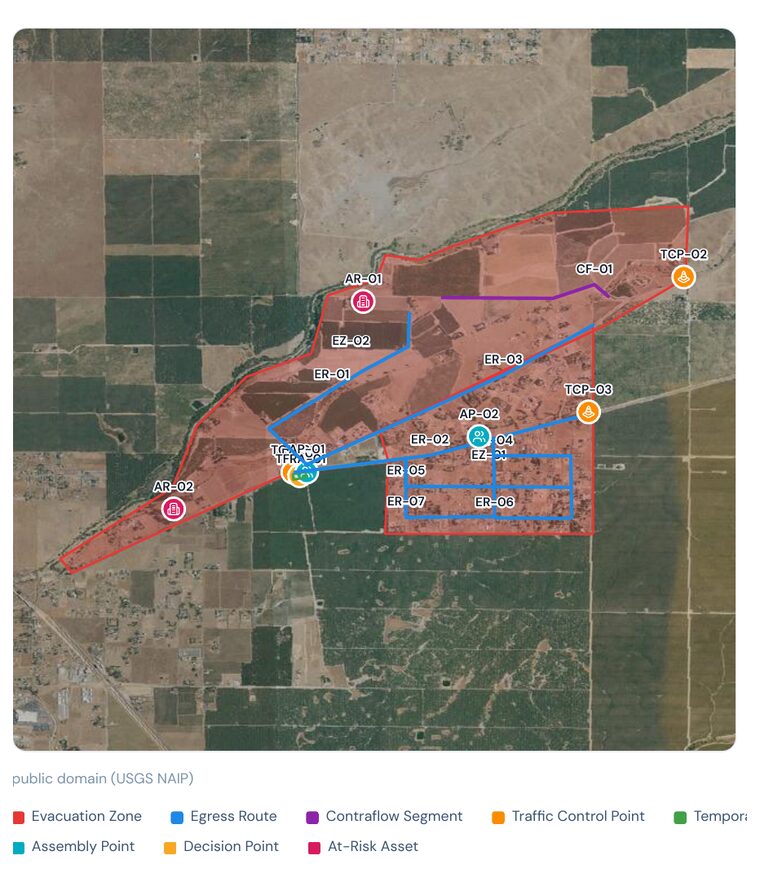
A new Satelife tool for the people who plan how a community gets out. Drop evacuation zones, egress routes, refuge areas, assembly points and traffic control onto a satellite map — then export a draft evacuation plan for the authority having jurisdiction. Every plan is checked, live, against national evacuation-planning guidance, so gaps surface before fire season, not during it. It is advisory decision support — not an evacuation order.
The risk report tells you how exposed a place is. The evacuation planner answers what happens next: how people leave, by which routes, past which control points, to which refuge — and where that plan is thin. You draw it on a map; Satelife scores it and exports a review-ready document.
Everything in a plan is one of nine element kinds — each with its own colour, label prefix and the details responders actually need. The checklist knows what each one requires, so an incomplete element tells you exactly what is missing.
From an address or community boundary to an exported draft — the plan is yours to shape, and the checklist keeps score the whole way.
Open a location on satellite imagery and search to the community you are planning for.
Draw zones, routes, refuges, assembly and control points from the element palette.
Populations, lanes, capacities, triggers and assigned routes — the facts responders rely on.
Live pass / warn / fail findings show where the plan is thin, ranked by severity.
Generate a versioned draft PDF, stamped for AHJ review, ready to hand off.
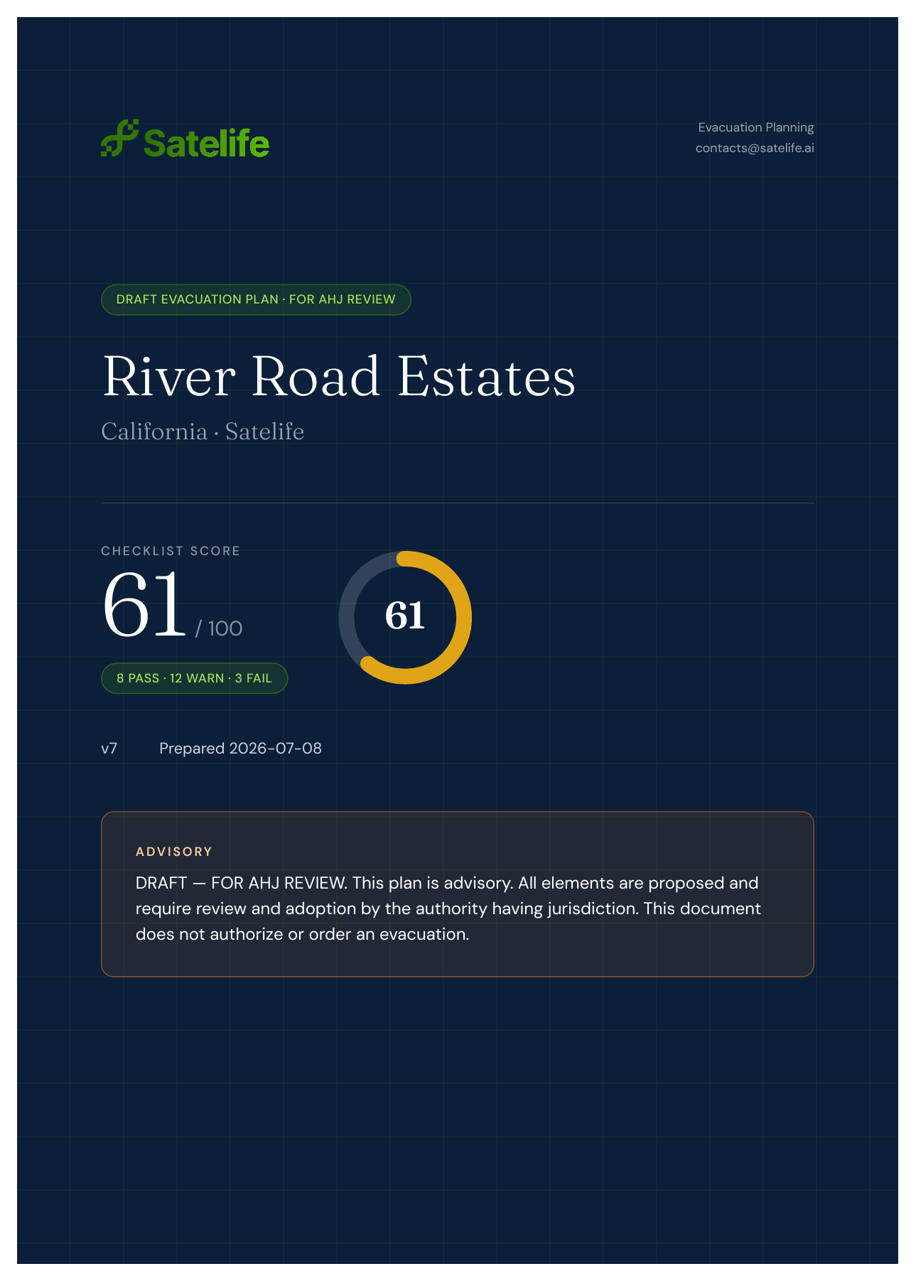
The export pairs a labeled situation map over base imagery with a full methodology checklist — an overall score plus every advisory finding, so a reviewer sees both the plan and its gaps at a glance. Below is a real draft for a sample California community.
Draw your evacuation zones, egress routes and refuge areas on a satellite map, keep score against national guidance, and export a draft plan your AHJ can review — before the next fire season.
Start a plan →